 Education Maps & Charts
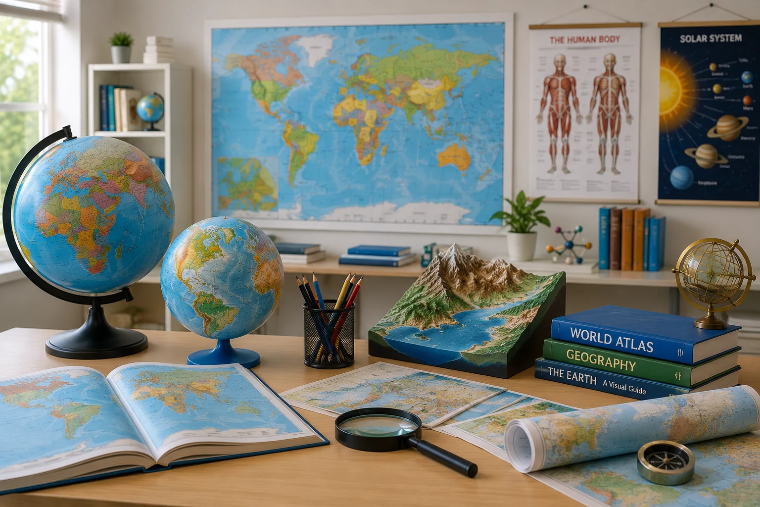
Educational Maps
Maps On Indian States
Detailed wall maps of Indian states, districts, and key locations for education, reference, and decor.
View Details →Browse structured demo products across educational charts, maps, GIS solutions, nursing models and laboratory equipment.
Education Maps & Charts
Educational Maps
Detailed wall maps of Indian states, districts, and key locations for education, reference, and decor.
View Details →
Education Maps & Charts
Weather Maps of India
Weather map of India for geography classrooms, meteorology learning, and educational display.
View Details → Laboratory
Human Anatomical Models
Educational anatomical model for medical training, classroom demonstration, and visual learning.
View Details →
Education Maps & Charts
Educational Charts
Math educational charts and models for classroom teaching, homeschooling, and interactive learning activities.
View Details →
Education Maps & Charts
Weather Maps of India
Weather map of India for geography classrooms, meteorology learning, and educational display.
View Details →
Education Maps & Charts
Prevent Diseases Chart
Prevent diseases educational chart for schools, health awareness programs, clinics, and classroom display.
View Details →
Education Maps & Charts
Physics Charts
Physics and science educational chart for schools, colleges, laboratories, and classroom teaching.
View Details →
Nursing & Medical
Human Organ Models
Biological model for medical, nursing, biology, laboratory teaching, and visual learning.
View Details →