The Educational Enterprises
Educational Aids on Medical Sciences
Menu
Home
About
▾
01
About Us
Our company, experience and institutional approach.
02
Industries
Sectors and institutions supported by our solutions.
03
Blog
Product guidance, education trends and purchase insights.
Products
▾
01
Nursing & Medical
Manikins, anatomy models and training simulators.
02
Laboratory
Scientific instruments, kits and lab setup equipment.
03
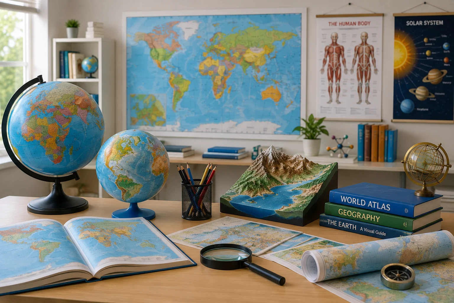
Education Maps & Charts
Charts, maps, globes, models and GIS learning tools.
04
Browse by Category
Explore the full catalog through parent and child categories.
Services
Contact
Search products
Request Quote
Cart
0
Collections
/
State Maps Political
Education Maps & Charts
State Maps Political
State Maps Political products and solutions.
24 products
State Maps Political
Sort
Featured
Name
Latest
State Maps Political
Bihar Physical Map
Quick View
State Maps Political
Gujarat Political Map
Quick View
State Maps Political
Jharkhand Political Map
Quick View
State Maps Political
Kerala Physical Map
Quick View
State Maps Political
Madhya Pradesh Political Map
Quick View
State Maps Political
Maharashtra Political Map
Quick View
State Maps Political
Odisha Political Map
Quick View
State Maps Political
Tamilnadu Physical Map
Quick View
State Maps Political
Uttarakhand Physical Map
Quick View
State Maps Political
Andhra Pradesh Political Map
Quick View
State Maps Political
Bihar Political Cum Physical Map
Quick View
State Maps Political
Chhattisgarh State Map
Quick View
State Maps Political
Delhi Political Map
Quick View
State Maps Political
Haryana Map
Quick View
State Maps Political
Himachal Pradesh Map
Quick View
State Maps Political
Karnataka Political Map
Quick View
State Maps Political
North East States Map
Quick View
State Maps Political
Punjab Political Map
Quick View
State Maps Political
Rajasthan Political Map
Quick View
State Maps Political
Tamilnadu Political Map
Quick View
State Maps Political
Telangana Political Map
Quick View
State Maps Political
Uttar Pradesh Political Map
Quick View
State Maps Political
Uttarakhand Political Map
Quick View
State Maps Political
West Bengal Political Map
Quick View
Related
More collections
Educational Charts
11
Additional Items for Mathematics Laboratory
26
Aids Awareness Chart
7
Alphabet Charts
8
Botany Charts
46
Changing Face of the Earth
12
Chemistry Lab Display Charts
5
Detailed Map Reading Charts
2
WhatsApp
Get Quote